Search All Items
- Filters:
- Language
- English 1638
- Spanish 154
- ENGLISH 2
- English 1
- census_013 1
- Type
- Image 1312
- Still Image 275
- Text 183
- Text 22
Search Results 1011 to 1020 of 1819
-
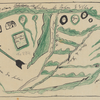
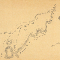
Hand-drawn sketch map of Potrero de San Luis Obispo boundaries. Volume 2, page 4.
Date: 1840
-
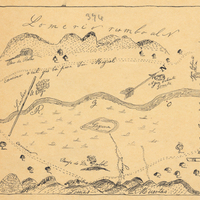
Hand-drawn sketch map of Boca de la Canada del Pinole boundaries. Volume 1, page 742.
Date: 1842
-
Hand-drawn sketch map of Santa Iasabel boundaries. Volume 2, page 81.
Date: 1843
-
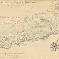
Hand-drawn sketch map of Rio de las Consumnes al Norte or Omachumnes boundaries. Volume 2, page 109.
Date: 1843
-
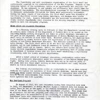
Summary of the War Program; Sections: Enemy Alien and Japanese Evacuation; War Services Program; Defense Activities; See Memo on Report on Field Staff Operations (F3729_129_002a)
Date: October 25, 1943