Search All Items
- Filters:
- Language
- English 4330
- Spanish 107
- ENGLISH 1
- census_013 1
- Type
- Image 3891
- Still Image 286
- Text 236
- Text 19
- Textual 2
Search Results 1111 to 1120 of 4452
-
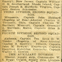
No caption. An undated and unidentified newspaper article titled, "What Ships Make Up the Armada in the Harbor." c.1908. The article describes the forty-three battleships, cruisers, torpedo boats, torpedo boat destroyers, and auxiliary ships in the San Francisco Bay under the Flag of Rear Admiral Evans.
Date: 1908
-
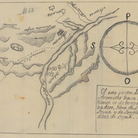
Hand-drawn sketch map of Agua Caliente boundaries. Volume 1, page 182.
Date: 1834
-
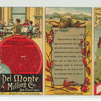
California Brand condensed Coffee, California Brand condensed Milk
Date: 1890