Search All Items
- Filters:
- Language
- English 1667
- Spanish 215
- ENGLISH 2
- English 1
- census_013 1
- Type
- Image 1473
- Still Image 304
- Text 81
- Text 22
- Textual 1
Search Results 1211 to 1220 of 1895
-
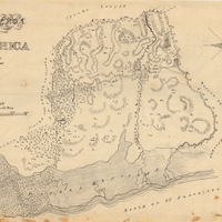
This item has no description.
Date: undated
-
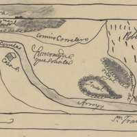
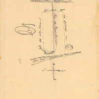
Hand-drawn sketch map of Rinconada del Arroyo de San Francisquito boundaries. Volume 1, page 596.
Date: 1838
-
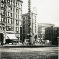
Caption: "Totem Pole, Seattle." Seattle, Washington, c. 1905. View of the Tlingit totem pole in Seattle's Pioneer Square. The totem pole was stolen in 1899 by a group of businessmen, and erected in the square, then known as Pioneer Place. An arsonist destroyed this pole in 1938, but it was later replaced by another carved by the Tlingit tribe (who were also finally paid for the original pole).
Date: 1905
-
Hand-drawn sketch map of Guesesosi or Jesus Maria boundaries. Volume 2, page 178.
Date: 1842
-
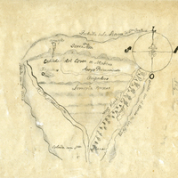
Hand-drawn sketch map of Cañada del Cort de Madera, or San Emilio, (Emiglio), or Todos Santos boundaries. Volume 1, page 12.
Date: 1833
-
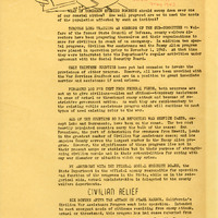
Newsletter, update on War Services Program; Sections: Civilian Relief; Assistance to Enemy Aliens
Date: Undated