Search All Items
- Filters:
- Language
- English 4330
- Spanish 107
- ENGLISH 1
- census_013 1
- Type
- Image 3891
- Still Image 286
- Text 236
- Text 19
- Textual 2
Search Results 1241 to 1250 of 4452
-
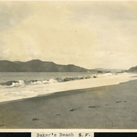
Caption: "Baker's [sic] Beach S.F.," c. 1906. Baker Beach begins just south of Golden Gate Point and extends approximately one half-mile southward to Seacliff Peninsula.
Date: 1906
-
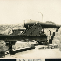
Caption: "U.S., Old Timers." A view of two large guns in carriages, at an unidentified location.
Date: Undated
-
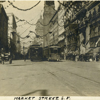
Caption: "Market Street, S.F," 1910. Market Street scene with trolleys, horse-drawn buggies, and people walking about.
Date: 1910
-
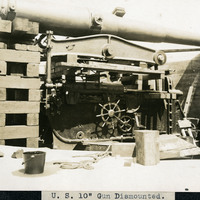
Caption: "U.S. 10" Gun Dismounted." A view of a large gun at an unidentified location.
Date: Undated
-
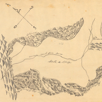
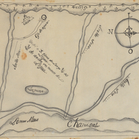
Hand-drawn sketch map of Valle de San Felipe boundaries. Volume 2, page 200
Date: 1846
-
Hand-drawn sketch map of Corral de Tierra boundaries. Volume 1, page 128.
Date: 1833
-
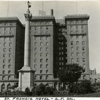
Caption: "St. Francis Hotel - S.F. Cal," c. 1913. St. Francis Hotel at Union Square with partial north wing extension and the Dewey Monument in the foreground (Robert I. Aitken, sculptor), which commemorated U.S. Admiral George Dewey's naval victory at the battle of Manila Bay during the Spanish American War of 1898. The luxury hotel opened in 1904 and, fortunately, suffered little damage from the 1906 earthquake. It was expanded in 1913, and 1972, making it one of the largest hotels in the city. See also 96-07-08-alb01-002.
Date: 1913