Search All Items
- Filters:
- Language
- English 1582
- Spanish 41
- ENGLISH 1
- English 1
- census_013 1
- contra_costa_schedule_1_volume_1 1
- Type
- Image 1359
- Still Image 163
- Text 78
- Text 22
- Image of the California Census from the records of the office of the California Secretary of State 1
- Textual 1
Search Results 1251 to 1260 of 1636
-
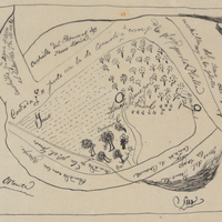
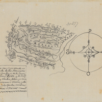
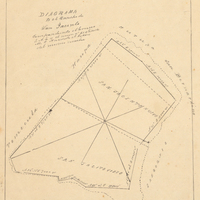
Hand-drawn sketch map of Potrero or San Jacinto Nuevo y Potrero or San Jacinto Sobrante boundaries. Volume 2, page 157.
Date: 1845
-
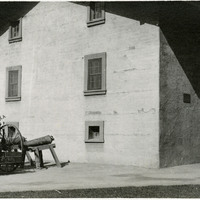
Caption: "Sutter [sic] Fort. Sacramento.," c. 1920. Image of the main building of Sutter's Fort. John Sutter established the fort in 1839, calling it New Helvetia. After the discovery of gold at one of Sutter's mills (at Coloma, on the American River), almost all of the fort's inhabitants left for the gold fields in the foothills. The fort deteriorated until being restored from 1891-1893. The fort is now the site of a State Historic Park. See also 96-07-08-alb05-117.
Date: 1920