Search All Items
- Filters:
- Language
- English 1638
- Spanish 154
- ENGLISH 2
- English 1
- census_013 1
- Type
- Image 1312
- Still Image 275
- Text 183
- Text 22
Search Results 1491 to 1500 of 1819
-
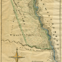
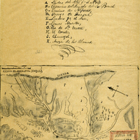
Hand-drawn sketch map of Barranca Colorada boundaries. Volume 2, page 99.
Date: 1844
-
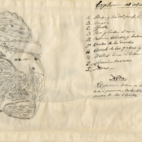
Hand-drawn sketch map of Carrisalitos, or Panoche de San Juan y Carrisalitos, or Rancho de San Juan y Carrisalitos boundaries. Volume 2, page 42.
Date: 1844
-
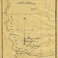
Hand-drawn sketch map of Rancho del Paso boundaries. Volume 2, page 85.
Date: 1844
-
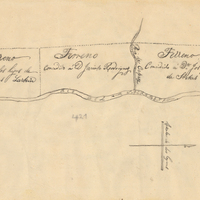
Hand-drawn sketch map of Boca de San Juan boundaries. Volume 2, page 126.
Date: 1845
-
Hand-drawn sketch map of Huasna or Ex-Mission of San Luis Obispo boundaries. Volume 2, page 15.
Date: 1843
-
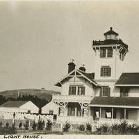
Caption: "Point Firmin [sic] Lighthouse," c. 1915, shows the Point Fermin lighthouse, built in 1874 in San Pedro Bay, which was the first navigational light into the bay. It served as a federally-operated lighthouse until 1927, when its operations were turned over to the City of Los Angeles. After the bombing of Pearl Harbor in 1941, the west coast was blacked out for fear of being an easy target to enemy forces. It was never lit again, but during WWII it served the U.S. Navy as a lookout tower and signaling station for ships coming into the San Pedro Bay. In 2003, the lighthouse was opened after being restored, retrofitted, and rehabilitated for public use. It is listed on the National Register of Historic Places and managed by the Department of Recreation and Parks of the City of Los Angeles.
Date: 1915
-
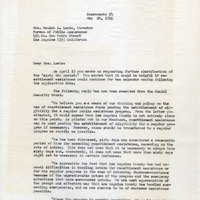
Correspondence from Charles M. Wollenberg (by Bertha S. Underhill) to Beulah L. Lewis regarding discussion of sixty-day limit on assistance
Date: May 20, 1946