Note: Check the about page for more information on the data sources used in this search
Lucca Olive Oil
Date: 1900
Clover Brand
Date: 1897
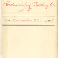
Fredericksburg Bottling Co.
Date: 1899
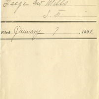
Horse Shoe Brand
Date: 1891
Balaema Brand
Golden State
Date: 1886
Adar Brook
Date: 1895
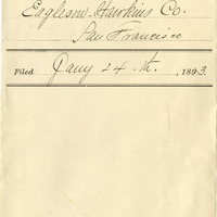
Eagleson and Co.
Date: 1893
Triumph Brand
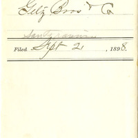
Date: 1898
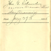
[J. G. E. on steering wheel]