Search All Items
- Filters:
- Language
- English 4330
- Spanish 107
- ENGLISH 1
- census_013 1
- Type
- Image 3891
- Still Image 286
- Text 236
- Text 19
- Textual 2
Search Results 1581 to 1590 of 4452
-
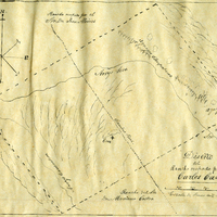
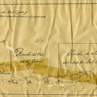
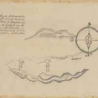
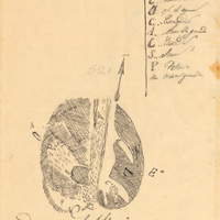
Hand-drawn sketch map of San Francisco de las Llagas boundaries. Volume 1, page 42.
Date: 1833
-
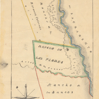
Hand-drawn sketch map of Rancho Del San Juan or San Juan boundaries. Volume 2, page 100.
Date: 1844
-
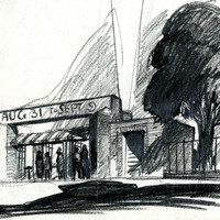
Design study of entrance gate, State Fair, Stockton Boulevard, Sacramento, by Alfred Eichler, c. 1938. Project for Department of Finance - Fairs and Expositions.
Date: 1938
-
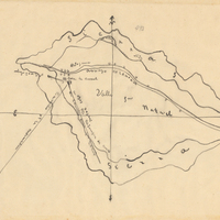
Hand-drawn Sketch map of Punta del Monte boundaries. Volume 1, page 164.
Date: 1834
-
Han-drawn sketch map of Valle de San Rafael boundaries. Volume 2, page 154.
Date: 1845
-
Mis Dos Medallas Habana J. V., Primera La Oda De J. V. Habana, etc.
Date: 1865
-
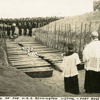
Caption: "Buriel [sic] of the U.S.S. Bennington Victims. -- Fort Rosecrans." Shows a grave site with dozens of caskets ready for burial. A priest and two altar boys stand at one side of the caskets, while a large group of U.S. Navy sailors looks on from the other side. While sailing from port in San Diego on the morning of July 21, 1905, the boiler of the USS Bennington exploded, killing sixty-six of her crew. The victims were laid to rest in the cemetery at Fort Rosecrans. See also 96-07-08-alb08-217.
Date: 1905-07-23
-
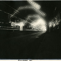
Caption: "Fillmore St," c. 1908. A view of San Francisco's Fillmore Street at night, which has been decorated with garlands of electric lights along the length of the street.
Date: 1908