Search All Items
- Filters:
- Language
- English 5827
- Spanish 62
- ENGLISH 2
- English 1
- census_013 1
- contra_costa_schedule_1_volume_1 1
- Type
- Image 3871
- Still Image 1544
- Text 447
- Text 22
- Textual 2
- Image of the California Census from the records of the office of the California Secretary of State 1
Search Results 1831 to 1840 of 5968
-
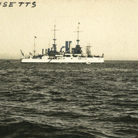
Caption: "The Massachusetts," c. 1910, was a large ship designed for coastal defense.
Date: 1910
-
Caption: "Boulder City," c. 1935, shows the municipality originally constructed for workers of the Boulder Dam.
Date: 1935
-
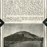
No Caption: A section from an informational tourist brochure describing Teotihuacan, an area northeast of Mexico City and famous for some of the most important archaeological discoveries on the North American Continent.
Date: 1938
-
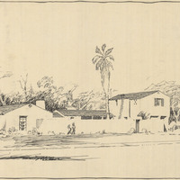
Design and drawing of unidentified building by Alfred Eichler. Project for Department of Mental Hygiene - Hospitals.
Date: 1927
-
Caption: "The Massachusetts," Ship designed for coastal defense. Unidentified location, undated.
Date: undated
-
Memorandum from Mr. Henderson to Mr. Mattoon regarding California Tree Fruit Agreement, Grower Exemption Certificate and Alien Land Law violations; attached list of Japanese growers
Date: February 10, 1942
-
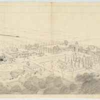
Pencil drawing of Fresno State College by Alfred Eichler. Project for Department of Education.
Date: undated
-
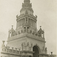
Caption: "Tower of Jewels," at the Panama-Pacific International Exposition. The Panama Pacific International Exposition was held to celebrate the completion of the Panama Canal, as well as inventive technologies and new industries from around the world. It was also a chance for San Francisco to show the world how the great city had rebuilt and thrived after the devastation of the 1906 earthquake and fire.
Date: 1915
-
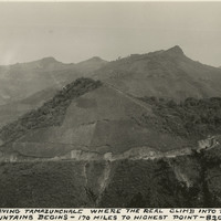
Caption: "Highway leaving Tamazunchale where the real climb into the Sierra Madre mountains begins - 170 miles to highest point - 8200 ft. elevation."
Date: 1938