Search All Items
- Filters:
- Language
- English 1667
- Spanish 215
- ENGLISH 2
- English 1
- census_013 1
- Type
- Image 1473
- Still Image 304
- Text 81
- Text 22
- Textual 1
Search Results 211 to 220 of 1895
-
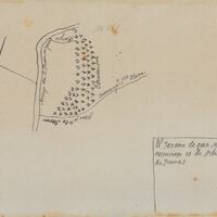
Hand-drawn sketch map of Land- Santa Clara County or San Franciquito or San Francisquito boundaries. Volume 1, page 680.
Date: 1839
-
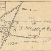
Hand-drawn sketch map of Ojo de Caballo, or Posolmi Rancho and Posita de las Animas boundaries. Volume 2, page 108.
Date: 1843
-
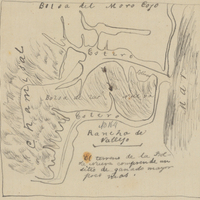
Hand-drawn sketch map of Blosa del Moro Caja boundaries. Volume 1, page 422.
Date: 1836
-
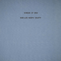
The Census of 1852 collection includes enumerations of California's 32 counties, arranged into 126 volumes. Schedule I enumerated the county's inhabitants, while schedule II enurmerated economic production. Many pages of this volume are damaged.
Date: 1852
-
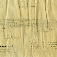
Hand-drawn sketch map of Corral de Tierra, or San Pedro, or San Mateo boundaries. Volume 1, page 4.
Date: 1834