Search All Items
- Filters:
- Language
- English 4772
- Spanish 11
- ENGLISH 2
- English 1
- census_013 1
- contra_costa_schedule_1_volume_1 1
- Type
- Image 3784
- Still Image 595
- Text 378
- Text 22
- Textual 2
- Image of the California Census from the records of the office of the California Secretary of State 1
Search Results 4731 to 4740 of 4835
-
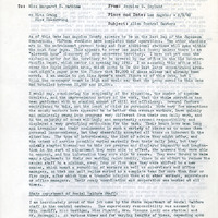
Office Memorandum from Bernice G. Copland to Margaret S. Watkins regarding evacuation process in Los Angeles County; Sections: State Department of Social Welfare Staff; Housing Facilities of WCCA Stations; Clientele; Animals; Relief; Time Involved by Supervising Agents; Reports
Date: May 9, 1942
-
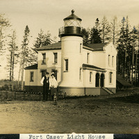
Caption: "Fort Casey Light House [sic]," c. 1905. Located on Whidbey Island in Puget Sound, the Admiralty Head Lighthouse was built overlooking Admiralty Inlet in 1903. It replaced an earlier structure that had to be moved in 1890 to accommodate the construction of Fort Casey. The second lighthouse, shown here, was built with thick walls in order to withstand earthquakes and the concussion of guns at the fort. The man and woman shown in the photograph (standing with a dog) are likely Charles H. Davis and his second wife Delia (Overton) Davis. Charles Davis was appointed keeper of the lighthouse in 1900 and served until his death in 1914. The lighthouse, deactivated in 1922, has since been restored by Washington State Parks, and is part of the Fort Casey State Park. See also 96-07-08-alb02-057.
Date: 1905
-
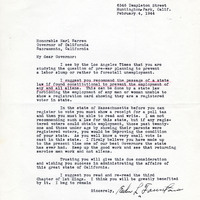
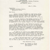
Correspondence from Edw. L. Fountain to Earl Warren regarding support for constitutional amendment to bar aliens from State employment
Date: February 4, 1944
-
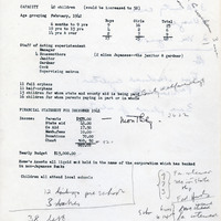
Report on number of children, number of staff, income, and budget of the Japanese Children's Home of Southern California
Date: Undated
-
This item has no description.
Date: undated
-
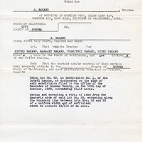
First report by trustee, J. Nakano on behalf of Kiyoko, Masaaki, Toshiyuki, and Hideo Nakano regarding property in Sonoma Coutny, California
Date: January, 1939