Note: Check the about page for more information on the data sources used in this search
Jay Eye See
Date: 1884
Midwinter Fair
Date: 1893
Snow White
Date: 1898
Sherwood and Sherwood
Date: 1886
The Original Louvre
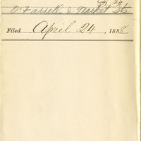
Date: 1888
American River Orchard
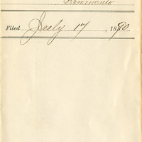
Date: 1890
Carlos O'Donnell's COD California Cordid Tonic
Date: 1869
La Flor De Native Son's Golden West Cigars
Date: 1900
Nozall
Date: 1892
Cross Keys
Date: 1882