Search All Items
- Filters:
- Language
- English 6020
- Spanish 194
- ENGLISH 2
- English 1
- census_013 1
- Type
- Image 3854
- Still Image 1909
- Text 426
- Text 22
- Textual 2
Search Results 5451 to 5460 of 6281
-
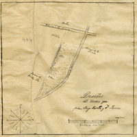
Hand-drawn sketch map of Portrero de Felipe Lugo boundaries. Volume 2, page 126.
Date: 1845
-
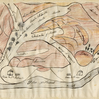
Hand-drawn sketch map of Land at Buenaventura boundaries. Volume 2, page 134.
Date: 1845
-
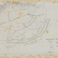
Hand-drawn sketch map of las Virgenes boundaries. Volume 1, page 109.
Date: 1833
-
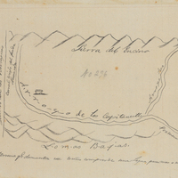
Hand-drawn sketch map of Puente or Puente de San Gabriel boundaries. Volume 1, page 702.
Date: 1840
-
Hand-drawn sketch map of Cienega de los Paicines boundaries. Volume 1, page 778.
Date: 1840
-
Memorandum regarding planning for the education of incarcerated students
Date: Undated