Search All Items
Search Results 5681 to 5690 of 6229
-
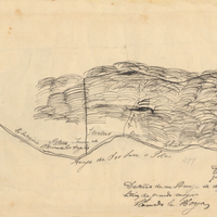
Hand-drawn sketch map of La Huga or La Jolla boundaries. Volume 2, page 147.
Date: 1845
-
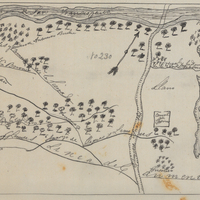
Hand-drawn sketch map of Rincon de San Francisquito boundaries. Volume 1, page 624.
Date: 1841
-
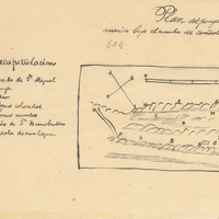
Hand-drawn sketch map of Cañada de San Miguelito or Cañada del Diablo boundaries. Volume 2, page 167.
Date: 1845
-
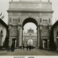
Caption: "Western Arch," at the Panama-Pacific International Exposition. See also 96-07-08-alb01-057.
Date: 1915
-
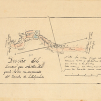
Hand-drawn sketch map of San Miguelito Addition boundaries. Volume 2, page 166.
Date: 1845
-
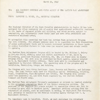
Memorandum from Laurence I. Hewes, Jr. to All District Officers and Field Agents regarding the Wartime Farm Adjustment Program
Date: March 15, 1942