Search All Items
- Filters:
- Language
- English 5827
- Spanish 62
- ENGLISH 2
- English 1
- census_013 1
- contra_costa_schedule_1_volume_1 1
- Type
- Image 3871
- Still Image 1544
- Text 447
- Text 22
- Textual 2
- Image of the California Census from the records of the office of the California Secretary of State 1
Search Results 5811 to 5820 of 5968
-
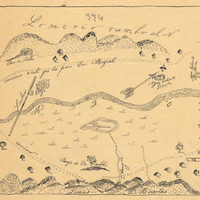
Hand-drawn sketch map of Santa Iasabel boundaries. Volume 2, page 81.
Date: 1843
-
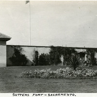
Caption: "Sutters [sic] Fort - Sacramento," c. 1920, shows a gun tower at Sutter's Fort, and a gate bracketed by two cannons. John Sutter established the fort in 1839, calling it New Helvetia. After the discovery of gold at one of Sutter's mills (at Coloma, on the American River), almost all of the fort's inhabitants left for the gold fields in the foothills. The fort deteriorated until being restored from 1891-1893. The Native Sons of the Golden West were influential in the restoration. The fort is now the site of a State Historic Park. See also 96-07-08-alb05-117 and 118.
Date: 1920
-
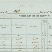
Image of Census of 1852, page 14 from Placer County Schedule I Volume I.
Date: 1852
-
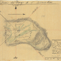
Hand-drawn sketch map of San Bernadino boundaries. Volume 1, page 738.
Date: 1840