Search All Items
- Filters:
- Language
- English 6020
- Spanish 194
- ENGLISH 2
- English 1
- census_013 1
- Type
- Image 3854
- Still Image 1909
- Text 426
- Text 22
- Textual 2
Search Results 5841 to 5850 of 6281
-
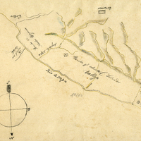
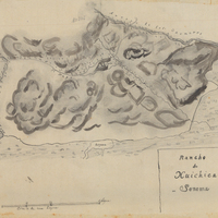
Hand-drawn sketch map of Jalapa or Napa boundaries. Volume 1, Page 532.
Date: 1837
-
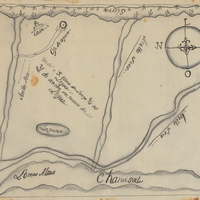
Hand-drawn sketch map of Norte or Santa Clara boundaries. Volume 1, page 326.
Date: 1837
-
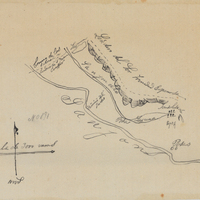
Hand-drawn sketch map of Olompali or Santissimo Rosario boundaries. Volume 2, page 14.
Date: 1843
-
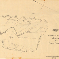
Hand-drawn sketch map of Corral de Tierra boundaries. Volume 1, page 128.
Date: 1833
-
Hand-drawn sketch map of Ricon del Sanjon, or Rinconada del Sanjon boundaries. Volume 1, page 510.
Date: 1836
-
Hand-drawn sketch map of Lomas de Santioago or Lomerias de Santiafo or Santiago boundaries. Volume 2, page 198.
Date: 1846
-
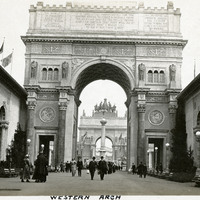
Caption: " Western Arch," at the Panama-Pacific International Exposition.
Date: 1915
-
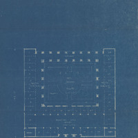
Design and drawing of California State Building for Nevada Highways Exposition in Reno, Nevada, by Alfred Eichler, c. 1926; from packet of designs and plans by Eichler for the Transcontinental Highways Exposition of 1927. Built. Initial appropriation of $100,000 was reduced to $50,000, so only one half of the plan was built. The tower was eliminated.
Date: 1925