Search All Items
- Filters:
- Language
- English 6020
- Spanish 194
- ENGLISH 2
- English 1
- census_013 1
- Type
- Image 3854
- Still Image 1909
- Text 426
- Text 22
- Textual 2
Search Results 6001 to 6010 of 6281
-
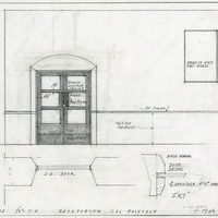
Caption: "Natatorium. Cal Polytech." Design and drawing of natatorium, detail of door, California State Polytechnic College, San Luis Obispo, by Alfred Eichler. Built. Project for Department of Education.
Date: 1936
-
Front page of the Pictorial Edition of Manzanar Free Press depicting four women farming land at Manzanar
Date: September 10, 1943
-
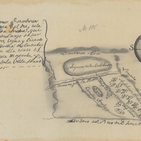
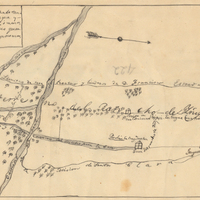
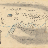
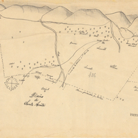
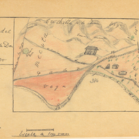
Hand-drawn sketch map of Laguna de las Calbazas boundaries. Volume 1, page 262.
Date: 1833
-
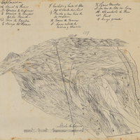
Hand-drawn sketch map of Corral de Piedra boundaries. Volume 1, page 640.
Date: 1839
-
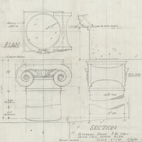
Caption: "Section - Veterans Home, P.W. 250-1, Patio Cols. Admin. Bldg." Design and drawing by Alfred Eichler. Built. Project for Department of Veterans Affairs.
Date: 1947
-
Hand-drawn sketch map of Ojo de Caballo, or Posolmi Rancho and Posita de las Animas boundaries. Volume 2, page 108.
Date: 1843
-
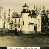
Caption: "Fort Casey Light House [sic]," c. 1905. Located on Whidbey Island in Puget Sound, the Admiralty Head Lighthouse was built overlooking Admiralty Inlet in 1903. It replaced an earlier structure that had to be moved in 1890 to accommodate the construction of Fort Casey. The second lighthouse, shown here, was built with thick walls in order to withstand earthquakes and the concussion of guns at the fort. The man and woman shown in the photograph (standing with a dog) are likely Charles H. Davis and his second wife Delia (Overton) Davis. Charles Davis was appointed keeper of the lighthouse in 1900 and served until his death in 1914. The lighthouse, deactivated in 1922, has since been restored by Washington State Parks, and is part of the Fort Casey State Park. See also 96-07-08-alb02-057.
Date: 1905