Search All Items
- Filters:
- Language
- English 7210
- Spanish 43
- ENGLISH 3
- English 2
- census_013 1
- contra_costa_schedule_1_volume_1 1
- Type
- Image 3888
- Still Image 2860
- Text 445
- Text 54
- Textual 2
- Image of the California Census from the records of the office of the California Secretary of State 1
Search Results 7101 to 7110 of 7358
-
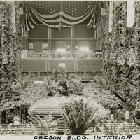
Caption: "Oregon Building Interior," at the Panama-Pacific International Exposition. See also 96-07-08-alb01-134.
Date: 1915
-
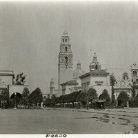
Caption: "Prado," a continuos covered arcade and walkway demarcated by arches at the Panama-California Exposition in San Diego.
Date: 1915
-
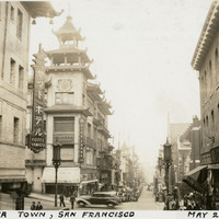
Caption: "China Town, San Francisco, May 21, 1935," shows a busy street scene in the Chinese district of San Francisco.
Date: 1935
-
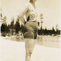
No Caption: Grace McCarthy wearing a swimsuit and standing on the shore of Lake Tahoe, c. 1935.
Date: 1935
-
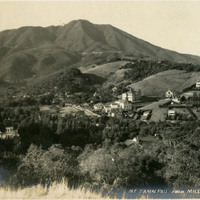
Caption: "Mt Tamalpais from Mill Valley," c. 1907 shows a bird's eye view of Mount Tamalpais and the valley below.
Date: 1907
-
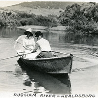
Caption: "Russian River -- Healdsburg," c. 1914. William and Grace McCarthy in a rowboat on the Russian River near Healdsburg.
Date: 1914
-
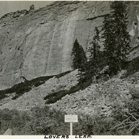
Caption: "Lovers Leap." This rock formation consists of a band of granite cliffs rising above the Eldorado National Forest.
Date: 1927
-
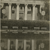
Caption: "Court of Four Seasons," at the Panama-Pacific International Exposition. See also 96-07-08-alb01-104.
Date: 1915
-
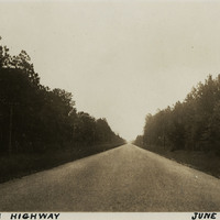
Caption: "Florida Highway, June 21 34." A tree-lined, unidentified highway stretches into the distance in this photograph.
Date: 6/21/1934
-
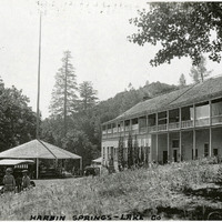
Caption: "Harbin Springs -- Lake Co," c. 1920. Resort buildings at Harbin Springs, home of the Harbin Hot Springs.
Date: 1920