Search All Items
- Filters:
- Language
- English 5811
- Spanish 37
- ENGLISH 2
- English 2
- census_013 1
- contra_costa_schedule_1_volume_1 1
- Type
- Image 3877
- Still Image 1473
- Text 439
- Text 54
- Textual 2
- Image of the California Census from the records of the office of the California Secretary of State 1
Search Results 721 to 730 of 5921
-
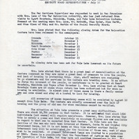
Summary of meeting on July 18 to discuss issues associated with closure of certain incarceration camps
Date: July 20, 1945
-
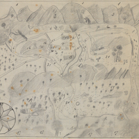
Hand-drawn sketch map of San Miguelito boundaries. Volume 1, page 654.
Date: 1841
-
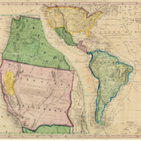
The image is of a lithograph that depicts the various routes to California from Eastern United States via Panama and Cape Horn.
Date: 1849