
Bookmarks
Showing Bookmarks 1 to 1 of 1
-
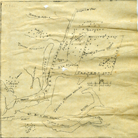
Hand-drawn sketch map of Rio Ojotska or Rio del Sacramento boundaries. Volume 1, page 50.
Date: 1833
Hand-drawn sketch map of Rio Ojotska or Rio del Sacramento boundaries. Volume 1, page 50.
Date: 1833