Bookmarks

Showing Bookmarks 1 to 4 of 4

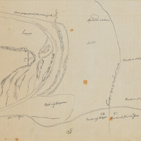
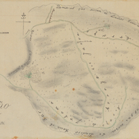
  • San Andres Rancho

    Hand-drawn sketch map of San Andres boundaries. Volume 1, page 304.

    Date: 1833

  • Correspondence on strategic points

    Correspondence from Earl Warren (by Warren Olney) to John L. DeWitt regarding strategic military points in the vicinity of San Bernardino County

    Date: March 17, 1942

  • Old Series Trademark No. 1156

    The Predicament

    Date: 1884

  • McCarthy Album 05, Photograph 197

    Caption: "Fort Stevens, OR," c. 1915. Panorama of Fort Stevens, built in the 1860s as part of the defensive fortifications guarding the mouth of the Columbia River. Located on the Oregon side of the river, the fort was decommissioned after World War II, its armaments and buildings removed and auctioned off. The site now serves as a state park complete with military museum.

    Date: 1915