
Bookmarks
Showing Bookmarks 1 to 5 of 5
-
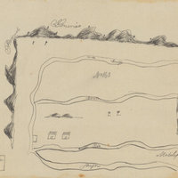
Hand-drawn sketch map of Santa Ana boundaries. Volume 1, page 412.
Date: 1836
-
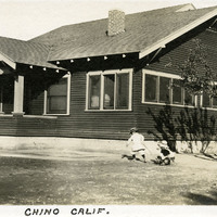
Caption: "Chino Calif.," c. 1915. Unidentified child pulling another unidentified, smaller child in a wagon in front of a Craftsman-style residence.
Date: 1915
-
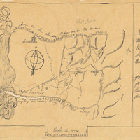
Hand-drawn sketch map of Rinconada de San Leandra or San Leandro boundaries. Volume 2, page 1.
Date: 1840
-
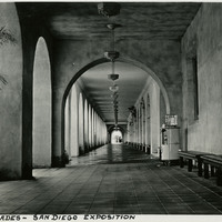
Caption: "Colonades [sic] - San Diego Exposition," 1935.
Date: 1935
-
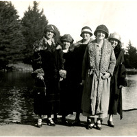
No caption: Grace McCarthy (far left) poses with four unidentified women in front of a small body of water, c. 1925.
Date: 1925