Bookmarks
Showing Bookmarks 1 to 3 of 3
-
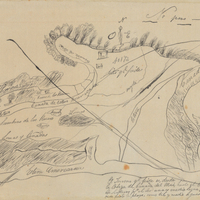
Hand-drawn sketch map of Estero Americano or Cañada de Mais boundaries. Volume 1, page 452.
Date: 1837
-
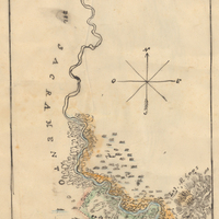
Hand-drawn sketch map of San Barnabe boundaries. Volume 1, page 604.
Date: 1836
-