

Bookmarks
Showing Bookmarks 1 to 8 of 8
-
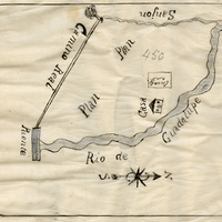
-
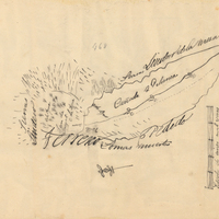
Hand-drawn sketch map of Cañada de Palomea or Guejeto y Cañada de Palomea boundaries. Volume 2, page 140.
Date: 1845
-
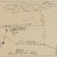
Hand-drawn sketch map of Blosa de San Felipe boundaries. Volume 1, page 570.
Date: 1839
-
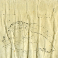
-
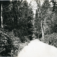
No Caption: See also 96-07-08-alb08-024 with caption: Ordnance Avenue, Fort Casey," Washington, c. 1908. Fort Casey was part of the "triangle of fire," three coastal defense fortifications (Fort Casey, Fort Worden, and Fort Flagler) guarding the entrance to Puget Sound. Construction began on the fort in 1897, and the U.S. Army used the facility until the 1950s, when the fort was decommissioned. The area is now a state park.
Date: 1908
-
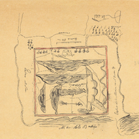
Hand-drawn sketch map of Potrero Nuevo or Potrero de San Francisco boundaries. Volume 2, page 54.
Date: 1844
-
-
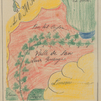
Hand-drawn sketch map of Valle de San Luis Gonzaga boundaries. Volume 1, page 652.
Date: 1840