

Bookmarks
Showing Bookmarks 1 to 25 of 49
-

-
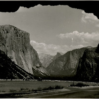
No Caption: In this 1935 photograph, the opening of the Wawona highway tunnel frames the Yosemite Valley with El Capitan (the Captain) on the left, Bridalveil Falls on the right, and Half Dome in the distance.
Date: 1935
-
The Census of 1852 collection includes enumerations of California's 32 counties, arranged into 126 volumes. Schedule I enumerated the county's inhabitants, while schedule II enurmerated economic production. Many pages of this volume are damaged.
Date: 1852
-

-
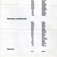
Report on number of cases; Sections: Active Cases; Service Cases; Closed Cases"; for similar report see F3729_73_001
Date: March 10, 1942
-

-
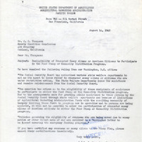
Correspondence from I. C. May to S. H. Thompson regarding food stamp policy
Date: August 14, 1942
-
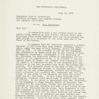
Correspondence from Earl Warren (by Sherrill Halbert) to John F. Dockweiler regarding ownership of property
Date: July 15, 1942
-

-

-
-
-
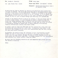
Office Memorandum from Ralph Enos to Bertha S. Underhill regarding individual case summaries and statistics
Date: April 16, 1946
-
-
-

Correspondence from Gordon Williams to Earl Warren regarding resolution passed by the American Veterans Committee on violence against returning Japanese-Americans
Date: September 28, 1945
-

-

-

-

Caption: "Yosemite - From Inspiration Point," c. 1917. The Yosemite Valley, showing El Capitan (left middle distance), Cathedral Rocks (right middle distance), and Half Dome (far distance in the center).
Date: 1917
-
-

-
-

-
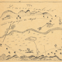
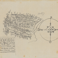
Hand-drawn sketch map of Santa Iasabel boundaries. Volume 2, page 81.
Date: 1843