

Bookmarks
Showing Bookmarks 1 to 19 of 19
-

-
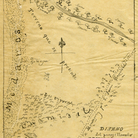
Hand-drawn sketch map of Land- Monterey county, or Lomas del Carmelo or Meadows Tract boundaries. Volume 2, page 29.
Date: 1833
-

-
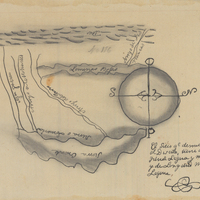
Hand-drawn sketch map of Agua Puerca y Las Trancas boundaries. Volume 1, page 256.
Date: 1836
-

-
-
-
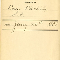
-
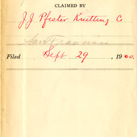
-

-

-

-

-

-
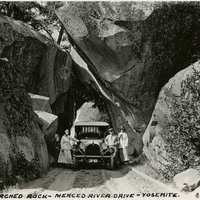
Caption: "Arched Rock- Merced River Drive - Yosemite.," c. 1917. Grace and William McCarthy (to right of the car) pose with their vehicle and an unidentified woman underneath the arched rock on what is now Highway 140, the El Portal Road. The area is now known as the Arched Rock Entrance to Yosemite Valley.
Date: 1917
-
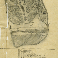
Hand-drawn sketch map of Cañada Larga o Verde boundaries. Volume 2, page 5.
Date: 1840
-
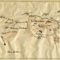
Hand-drawn sketch map of San Clemente or Tamalpais boundaries. Volume 2, page 124.
Date: 1845
-
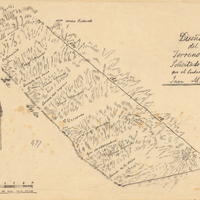
Hand-drawn sketch map of Descanso at San Miguel boundaries. Volume 2, page 159.
Date: 1845
-

Hand-drawn sketch map of Nuestra Senora del Refugio boundaries. Volume 1, page 18.
Date: 1834