Bookmarks
Showing Bookmarks 1 to 25 of 27
-
-
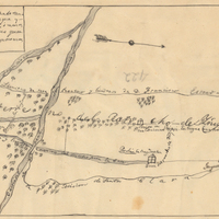
Hand-drawn sketch map of Ojo de Caballo, or Posolmi Rancho and Posita de las Animas boundaries. Volume 2, page 108.
Date: 1843
-

-

-

-
-
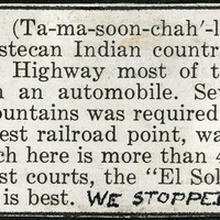
Caption: "We stopped at Gandy Courts." A section of a tourist informational brochure describing the village of Tamazunchale, in "the heart of the Huastecan Indian country."
Date: 1938
-
-
-

-

-
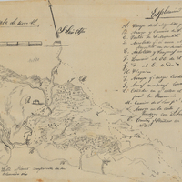
Hand-drawn sketch map of San Miguelito boundaries. Volume 1, page 296.
Date: 1839
-

-

-
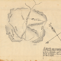
Hand-drawn sketch map of Cañada de los Vaqueros, or Rancho Vasco boundaries. Volume 2, page 115.
Date: 1839
-

-
-

-
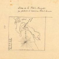
Hand-drawn sketch map of Island of San Diego or Peninsula of San Diego or North Island boundaries. Volume 2, page 193.
Date: 1846
-

-
-
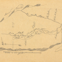
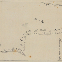
Hand-drawn sketch map of Jimeno, or Salsipuedes, or Santa Paula y Saticoy boundaries. Volume 2, page 97.
Date: 1844
-

-
-