
Bookmarks
Showing Bookmarks 1 to 4 of 4
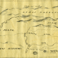
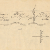
-
-
-
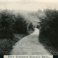
Caption: "Port Townsend Bicycle Path.," c. 1910. Image of a rural path or road, surrounded by trees and vegetation, with a hill in the distance. The bicycle made its first appearance in the Puget Sound area in the late 1870s. Within twenty years, thousands of enthusiasts had adapted the new mode of transportation. Such enthusiasts often formed clubs, such as the Queen City Good Roads Club, based in Seattle (south of Port Townsend). These clubs advocated, constructed, and helped to maintain pathways dedicated specifically to bicycle traffic. Ironically, the efforts made by the bicyclists to generally improve roadways contributed to the rise of another new mode of transportation -- the automobile.
Date: 1910
-
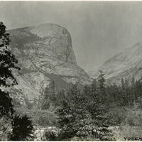
Caption: "Yosemite," c. 1917. View of the Yosemite Valley.
Date: 1917