

Bookmarks
Showing Bookmarks 1 to 25 of 26
-
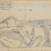
Hand-drawn sketch map of San Pedro boundaries. Volume 1, page 188.
Date: 1834
-

Office Memorandum from Margaret S. Watkins to Martha A. Chickering regarding staffing of the WCCA offices
Date: April 10, 1942
-
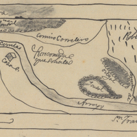
Hand-drawn sketch map of Rinconada del Arroyo de San Francisquito boundaries. Volume 1, page 596.
Date: 1838
-

Office Memorandum from Gladys C. Johns to Margaret S. Watkins regarding report on WCCA in the counties; Attachment: "Counties in Area IV From Which Personnel was Provided for WCCA Offices"
Date: March 30, 1942
-

-

-
-

-

Correspondence from S. H. Thompson to Martha A. Chickering regarding Federal government responsibility for cost of public assistance; see Response to Correspondence on County Responsibility for Enemy Alien Program (F3729_49_002a)
Date: March 2, 1942
-
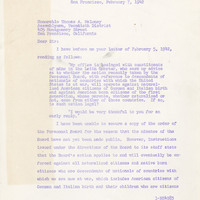
Correspondence from Earl Warren to Thomas A. Maloney regarding action of the State Personnel Board against employees of Japanese descent
Date: February 7, 1942
-
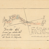
Hand-drawn sketch map of San Miguelito Addition boundaries. Volume 2, page 166.
Date: 1845
-

-

Correspondence from Charles F. Miller to Charles M. Wollenberg regarding denial of resettlement aid in Tulare County; Attached is a memo on same subject
Date: November 16, 1945
-
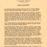
Council of Social Agencies of Los Angeles report to Tolan Committee regarding discrimination against races
Date: March 6, 1942
-

-
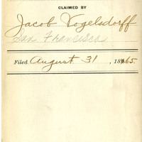
Los Tres Angeles J. V. Habana, El Rey de Tabacos J. V. Habana
Date: 1865
-

-

-
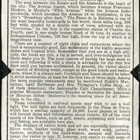
No Caption: A page from an informational tourist brochure describing Mexico City.
Date: 1938
-
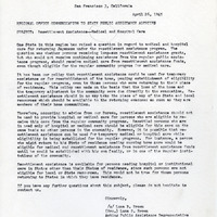
Correspondence from Luna B. Brown to State Public Assistance Agencies regarding medical care during resettlement
Date: April 26, 1945
-
-

No Caption: A section of a tourist informational brochure describing the Pan American Highway from Victoria to Tamazunchale.
Date: 1938
-
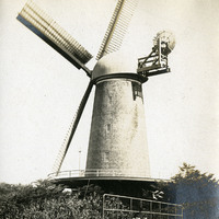
No caption, c. 1910. Image of the Dutch Windmill in Golden Gate Park, built in 1903 to pump ground water within the park for irrigation purposes.
Date: 1910
-
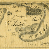
Hand-drawn sketch map of San Jaciento Viejo boundaries. Volume 2, page 13.
Date: 1840
-
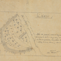
Hand-drawn sketch map of Santa Anita boundaries. Volume 1, page 114.
Date: 1834