

Bookmarks
Showing Bookmarks 1 to 25 of 28
-

-
-
-
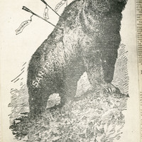
Caption: "Examiner Cartoon." Photograph of a cartoon that appeared in the San Francisco Examiner in the aftermath of the 1906 earthquake and fire. The cartoon shows a defiant grizzly bear representing San Francisco, pierced by three arrows labeled "Earthquake," "Fire," and "Famine." The word "UNDAUNTED!" appears above the bear.
Date: 1906
-
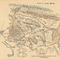
Hand-drawn sketch map of Cañada de Jonive boundaries. Volume 2, page 164.
Date: 1844
-
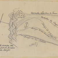
Hand-drawn sketch map of San Francisquito or San Gregorio boundaries. Volume 1, page 526.
Date: 1839
-
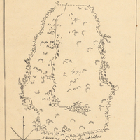
Hand-drawn sketch map of Potrero or San Jacinto Nuevo y Potrero or San Jacinto Sobrante boundaries. Volume 2, page 156.
Date: 1845
-
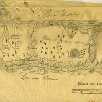
Hand-drawn sketch map of Agua Caliente boundaries. Volume 2, page 7.
Date: 1841
-
-
-
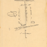
Hand-drawn sketch map of Guesesosi or Jesus Maria boundaries. Volume 2, page 178.
Date: 1842
-
-
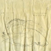
This item has no description.
Date: undated
-

Hand- drawn sketch map of Rincon de las Salinas boundaries. Volume 1, page 34.
Date: 1833
-

Hand-drawn sketch map of Corral de Tierra boundaries. Volume 1, page 476.
Date: 1839
-

Hand-drawn sketch map of Olompali or Santissimo Rosario boundaries. Volume 2, page 14.
Date: 1843
-
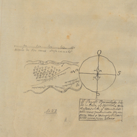
Hand- drawn sketch map of Pilarcitos boundaries. Volume 1, page 108.
Date: 1835
-
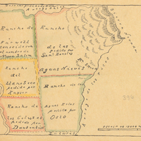
Hand-drawn sketch map of Aguas Frias boundaries. Volume 2, page 80.
Date: 1844
-

Hand-drawn sketch map of Punta de Cipress or Punta de Sepreses boundaries. Volume 1, page 84.
Date: 1843
-
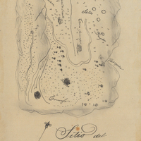
Hand-drawn sketch map of Conejo Rancho, or Nuesta Senora de Altagracia boundaries. Volume 1, page 324.
Date: 1834
-
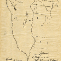
Hand-drawn sketch map of Pauma or Potreros de Paoma boundaries. Volume 2, page 77.
Date: 1844
-

-

-
-
