Bookmarks
Showing Bookmarks 1 to 25 of 26
-
-
-

-
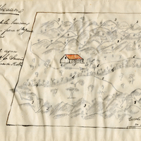
Hand-drawn sketch map of Santa Rosa boundaries. Volume 1, page 388.
Date: 1835
-

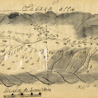
Hand-drawn sketch map of Laguna Seca or Refugio de la Laguna Seca or Laguna de Santa Teresa boundaries. Volume 1, page 220.
Date: 1834
-
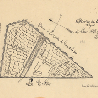
Hand-drawn sketch map of Mission Vieja de San Rafael boundaries. Volume 2, page 160.
Date: 1845
-
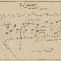
Hand-drawn sketch map of Rincon or Matilija boundaries. Volume 1, page 370.
Date: 1834
-
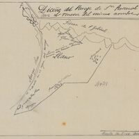
Hand-drawn sketch map of Rincon de San Pascual boundaries. Volume 1. page 564.
Date: 1840
-

Caption: "Business district of Puebla, Mexico - view taken from the Cathedral Belfry - Easter Sunday - April 17th, 1938.
Date: 1938
-
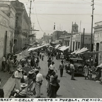
Caption: "Street Market - Calle Norts - Puebla, Mexico."
Date: 1938
-

Caption: "Our Motor Tour to Mexico City March 26th to June 8th 1938. Total Mileage 5,500, Grace & Will McCarthy. Highway indicated by Blue Line," written on a map of Mexico, with a photograph of William and Grace McCarthy next to a large sign detailing their tour of Mexico as described above.
Date: 1938
-
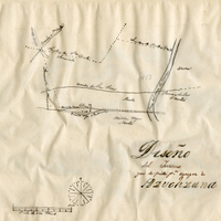
-
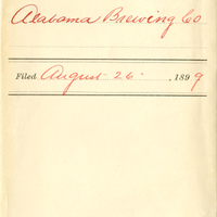
Alabama Brewing Co., A.B. Co. monogram, W. and B. monogram
Date: 1899
-
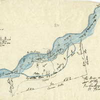
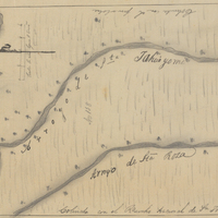
Hand-drawn sketch map of Paso del Pescadero boundaries. Volume 2, page 63.
Date: 1843
-

-

-

-
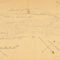
-
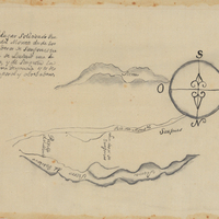
Hand-drawn Sketch map of Punta del Monte boundaries. Volume 1, page 164.
Date: 1834
-
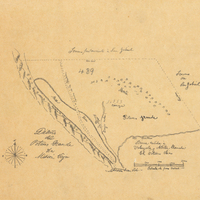
Hand-drawn sketch map of Mission vieja de San Gabriel boundaries. Volume 2, page 121.
Date: 1845
-
-
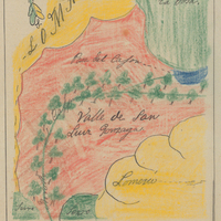
Hand-drawn sketch map of Valle de San Luis Gonzaga boundaries. Volume 1, page 652.
Date: 1840
-
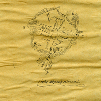
Hand-drawn sketch map of Jamacha, or Jamacho boundaries. Volume 1, page 36.
Date: 1833
-

-