
Bookmarks
Showing Bookmarks 1 to 4 of 4
-

Hand-drawn sketch map of Lihuaytos or Putos or Ulattis boundaries. Volume 2, page 110.
Date: 1843
-
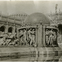
No Caption: Fountain of the Earth (Robert I. Aitken, sculptor), in the Court of Abundance at the Panama-Pacific International Exposition.
Date: 1915
-
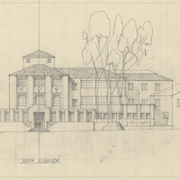
Drawing of South Elevation, Santa Barbara State College, by Alfred Eichler. Project for Department of Education.
Date: undated
-
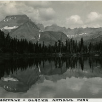
Caption: "Lake Josephine-Glacier National Park," c. 1935.
Date: 1935