

Bookmarks
Showing Bookmarks 1 to 6 of 6
-
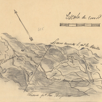
Hand-drawn sketch map of Huefano Or Huer-huero boundaries. Volume 2, page 169.
Date: 1846
-
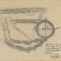
Hand-drawn sketch map of Agua Puerca y Las Trancas boundaries. Volume 1, page 256.
Date: 1836
-
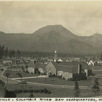
Caption: "Bonneville, Columbia River Dam Headquarters, Oregon," c. 1935.
Date: 1935
-
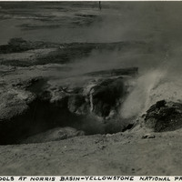
Caption: "Boiling Pools at Norris Basin - Yellowstone National Park," c. 1935.
Date: 1935
-
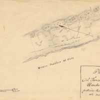
Hand-drawn sketch map of Fort Ross Rancho or Muniz boundaries. Volume 2, page 152.
Date: 1844
-
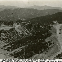
Caption: "Bakersfield-Los Angeles Ridge Route. Note the winding road. (X) marks the road in the distance." c. 1920. Mountain scene showing road winding around hills and ridges, with a few scattered automobiles also present. First opened in 1915, the Ridge Route was the first paved highway connecting Los Angeles with the San Joaquin Valley.
Date: 1920