Bookmarks
Showing Bookmarks 1 to 25 of 34
-

-
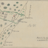
Hand-drawn sketch map of Cort de Madera de Novato boundaries. Volume 1, page 484.
Date: 1839
-

-
The Census of 1852 collection includes enumerations of California's 32 counties, arranged into 126 volumes. Schedule I enumerated the county's inhabitants, while schedule II enurmerated economic production. Many pages of this volume are damaged.
Date: 1852
-
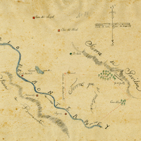
Hand-drawn sketch map of Buena Esperanza boundaries. Volume 1, page 206.
Date: 1833
-
-
-
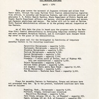
Statement by U.S. Public Health Service regarding medical care; Sections: Medical Inspection of Evacuees Prior to Movement, Assembly Centers, Reception Centers; see F3729_89_001a
Date: April 1942
-

-
-

-
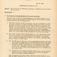
Summary by D. S. Myer of considerations for resettlement; Sections; Realignment of Responsibility for Financial Assistance, General Considerations, Determination of Eligibility and Amount of Grants, Approval or Disapproval of Applications, Payment of Grants, Assistance to Dependent Families, Services from Local Public Agencies
Date: May 30, 1945
-
-

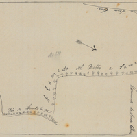
Hand-drawn sketch map of Agua Caliente or San Jose boundaries. Volume 1, page 550.
Date: 1838
-

No caption. A view of numerous and well-lit ships at night in the San Francisco Bay, during a visit by the Atlantic Fleet in 1908.
Date: 1908
-

-

Memorandum from Warren Olney to C. J. Carey regarding inquiries relating to Japanese in the agricultural industry; see Memorandum for Mr. Warren Olney (R177_089_183-4_003a-R177_089_183-4_003f)
Date: February 18, 1943
-
-

-
-

-

-

-
-