Search All Items
- Filters:
- Language
- English 7958
- Spanish 495
- ENGLISH 4
- English 2
- census_013 1
- contra_costa_schedule_1_volume_1 1
- Type
- Still Image 4047
- Image 3895
- Text 451
- Text 54
- Textual 2
- Image of the California Census from the records of the office of the California Secretary of State 1
Search Results 2111 to 2120 of 8628
-
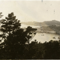
No caption, c. 1920. Scene of rocky sea cliffs and ocean, with trees bracketing the view. May be near Midway Point, near Pebble Beach.
Date: 1920
-
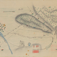
Hand-drawn sketch map of Chichiguas, or San Justo el Viejo and San Bernarbe boundaries. Volume 1, page 306.
Date: 1836
-
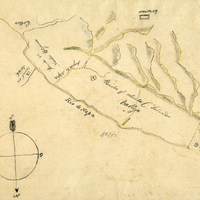
Hand-drawn sketch map of Jalapa or Napa boundaries. Volume 1, Page 532.
Date: 1837
-
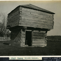
Caption: "Fort Casey block-house." and "USED AS A FORT TO FIGHT INDIANS IN EARLY DAYS," c. 1908-1912. View of a blockhouse, a timber structure built by European settlers to guard against attack during the Indian Wars of 1855-1857. See also 96-07-08-alb08-067.
Date: 1908
-
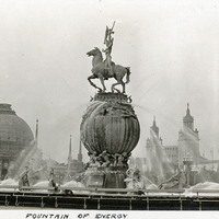
Caption: "Fountain of Energy" (A. Stirling Calder, sculptor), at the Panama-Pacific International Exposition.
Date: 1915
-
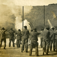
No caption, c. 1910. Large-caliber mortars with associated gun crews at target practice. At least one gun has just been, or is about to be, fired, given that the men are all holding their hands against their ears. See also 96-07-08-alb05-105 and 107.
Date: 1910
-
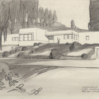
Caption: "Commanding Officers Quarters, Fort Winfield Scott, S. F., Two-Car Garage - 4 Bedrooms, # 18,585." Design study by Alfred Eichler.
Date: undated
-
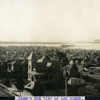
Caption: "BIRD'S EYE VIEW OF SAN DIEGO," c. 1905. Residences dominate the front portion of this bird's eye view photograph of San Diego, with the harbor in the distance.
Date: 1905
-
Caption: "Camp Life -- Chino Calif." William and Grace McCarthy laughing as they remove their shoes in preparation for getting into a bed situated under a tree in a yard or garden.
Date: 1915