Search All Items
- Filters:
- Language
- English 6853
- Spanish 18
- ENGLISH 3
- English 2
- census_013 1
- contra_costa_schedule_1_volume_1 1
- Type
- Image 3886
- Still Image 2484
- Text 441
- Text 54
- Textual 2
- Image of the California Census from the records of the office of the California Secretary of State 1
Search Results 3091 to 3100 of 6969
-
Caption: "Alligator Wrestler Holding the Alligators Mouth Open. Alligator Farm -- Miami, Fla. July 1, 1934." Unidentified man lying on his back, holding an alligator between his legs and forcing its mouth open to expose its teeth.
Date: 7/1/1934
-
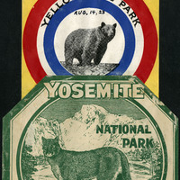
Caption: "Tours to the East." Two National Park decals for Yellowstone Park (with handwritten date of Aug. 14, 23, featuring a bear) and Yosemite National Park in 1920 (with handwritten date of July 4, featuring a mountain lion).
Date: 1920
-
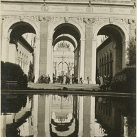
Caption: "Reflections," shows reflections of buildings in reflecting pool at the Panama-Pacific International Exposition. See also 96-07-08-alb01-103.
Date: 1915
-
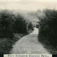
Caption: "Port Townsend Bicycle Path.," c. 1910. Image of a rural path or road, surrounded by trees and vegetation, with a hill in the distance. The bicycle made its first appearance in the Puget Sound area in the late 1870s. Within twenty years, thousands of enthusiasts had adapted the new mode of transportation. Such enthusiasts often formed clubs, such as the Queen City Good Roads Club, based in Seattle (south of Port Townsend). These clubs advocated, constructed, and helped to maintain pathways dedicated specifically to bicycle traffic. Ironically, the efforts made by the bicyclists to generally improve roadways contributed to the rise of another new mode of transportation -- the automobile.
Date: 1910
-
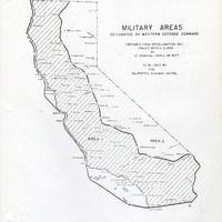
Map of California indicating boundaries for military areas prepared from Proclamation No. 1, issued by Lt. General John L. DeWitt to the California Highway Patrol
Date: Issued March 2, 1942
-
Caption: "Sutter [sic] Fort. Sacramento.," c. 1920. Image of the main building of Sutter's Fort. John Sutter established the fort in 1839, calling it New Helvetia. After the discovery of gold at one of Sutter's mills (at Coloma, on the American River), almost all of the fort's inhabitants left for the gold fields in the foothills. The fort deteriorated until being restored from 1891-1893. The fort is now the site of a State Historic Park. See also 96-07-08-alb05-117.
Date: 1920
-
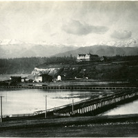
No Caption: See also 96-07-08-alb08-082 with caption: "The Olympic Snow-capped Mountains," Washington, c. 1908. Vista of the Olympic Mountains in the distance. In the middle distance to the right can be seen the Eisenbeis Castle (now known as the Manresa Castle Restaurant and Lounge), built in 1892 by Charles Eisenbeis, a businessman and Port Townsend's first mayor. The photograph is centered around what appears to be a resort hotel situated a short distance from the Eisenbeis Castle.
Date: 1908
-
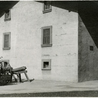
Caption: "Storehouse Rebuilt," shows the reconstructed storehouse at the Benicia Arsenal, undated.
Date: undated
-
No Caption: A view from the Multnomah Fall Bridge over the Columbia River, c. 1935.
Date: 1935
-
Caption: "Niagara Falls," c. 1925. View of the three waterfalls that make up the iconic Niagara Falls straddling the border between Ontario, Canada, and the State of New York. From left to right, the falls are called American Falls, Bridal Veil Falls (the smallest of the three), and Horseshoe Falls.
Date: 1925