Search All Items
- Filters:
- Language
- English 7958
- Spanish 495
- ENGLISH 4
- English 2
- census_013 1
- contra_costa_schedule_1_volume_1 1
- Type
- Still Image 4047
- Image 3895
- Text 451
- Text 54
- Textual 2
- Image of the California Census from the records of the office of the California Secretary of State 1
Search Results 7111 to 7120 of 8628
-
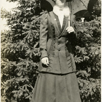
No caption, c. 1910. Grace McCarthy posing in garden with parasol.
Date: 1910
-
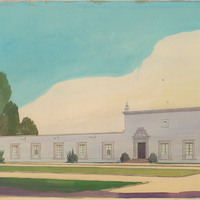
Color rendering of office building by Alfred Eichler. Project for Department of Public Works - Highways - District XI - San Diego.
Date: undated
-
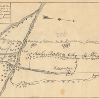
Hand-drawn sketch map of Ojo de Caballo, or Posolmi Rancho and Posita de las Animas boundaries. Volume 2, page 108.
Date: 1843
-
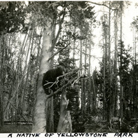
Caption: "A Native of Yellowstone Park," c. 1923. A bear climbing a tree in Yellowstone National Park.
Date: 1923
-
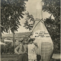
Caption: "In The Asti Vineyards - In Days Gone By," c. 1915, shows William and Grace McCarthy posing in front of a giant sculpture of a wine bottle at the Italian Swiss Colony winery, Asti Vineyards, in the Alexander Valley in Sonoma County.
Date: 1915
-
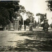
Caption: "Benicia Arsenal Entrance," c. 1905, Benicia, California. William McCarthy began his career as an inspector of armaments for the U.S. War Department at the Benicia Arsenal in 1903. The arsenal was established in 1851 as the first Ordnance Supply Depot in the West, from which it supplied and supported U.S. troops, from the Civil War through WWII and the Korean War. It was deactivated in 1963.
Date: 1905
-
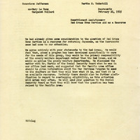
Correspondence from Bertha S. Underhill to Genevieve Jefferson regarding the Red Cross as a resource for resettlement aid
Date: February 26, 1945
-
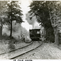
Caption: "In Muir Woods.," c. 1906. Grace McCarthy (in hat with white feather) and an unidentified woman standing at a small platform along a railroad in Muir Woods, being passed by a train car. This was likely part of the Mount Tamalpais and Muir Woods Railway, established in 1896 as a scenic tourist railway between Mill Valley and the east peak of Mt. Tamalpais in Marin County. See also 96-07-08-alb05-017.
Date: 1906
-
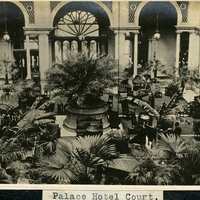
Caption: "Palace Hotel Court," c. 1906. (Handwritten on photograph: "copyright 1906 by W._ Wod_n."). The Palace Hotel was originally built in 1875, rebuilt in 1909, and was one of the first premier luxury hotels in San Francisco.
Date: 1906
-
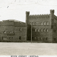
Caption: "State Armory -- Seattle.," c. 1910. View of castle-like armory building for the Washington National Guard, built in 1909 near Seattle's Pike Place Market. It was demolished in 1968.
Date: 1910