Search All Items
- Filters:
- Language
- English 7958
- Spanish 495
- ENGLISH 4
- English 2
- census_013 1
- contra_costa_schedule_1_volume_1 1
- Type
- Still Image 4047
- Image 3895
- Text 451
- Text 54
- Textual 2
- Image of the California Census from the records of the office of the California Secretary of State 1
Search Results 7831 to 7840 of 8628
-
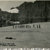
Caption: "Hiking party on Grinnell Glacier - Glacier National Park. A solid block of ice covering many acres," c. 1935.
Date: 1935
-
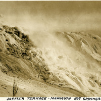
Caption: "Jupiter Terrace - Mammoth Hot Springs," 1923. Jupiter Terrace is part of the Lower Terraces of Mammoth Hot Springs.
Date: 1923
-
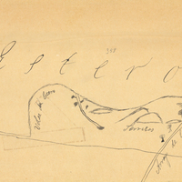
Hand-drawn sketch map of Potrero de los Cerritos boundaries. Volume 2, page 52.
Date: 1840
-
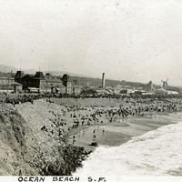
Caption: "Ocean Beach S.F.," c. 1910. View of a crowded Ocean Beach, near San Francisco's Cliff House.
Date: 1910
-
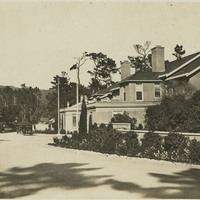
No Caption: shows a building of what appears to be a large house, with several automobiles parked nearby at an unidentified location, c. 1918.
Date: 1918
-
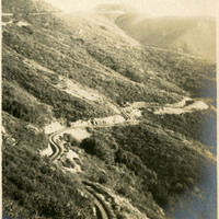
Caption: "Tamalpais Tavern and Railway From West Point," c. 1907.
Date: 1907
-
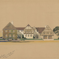
Caption: "San Quentin." Unidentified building, San Quentin State Prison; design by E. W. Hampton and drawing by Alfred Eichler. Project for Department of Corrections.
Date: 1935
-
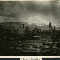
Caption: "Mount Shasta," c. 1910. A view of snow-covered Mount Shasta, a volcanic peak in the southern part of the Cascade Range in California's Siskiyou County.
Date: 1910
-
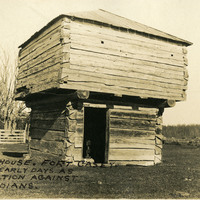
Caption: " Block House, Fort Casey. Used in Early Days as Protection Against the Indians." Washington, c. 1909. View of a blockhouse, a timber structure built by European settlers to guard against attack during the Indian Wars of 1855-1857.
Date: 1909
-
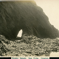
Caption: "Rocky Beach, Sea Side, Oregon.," undated. View of a rocky cliff along a beach in Oregon, with a tunnel carved out by wave action and rubble at the base of the cliff.
Date: Undated