Search All Items
- Filters:
- Language
- English 7958
- Spanish 495
- ENGLISH 4
- English 2
- census_013 1
- contra_costa_schedule_1_volume_1 1
- Type
- Still Image 4047
- Image 3895
- Text 451
- Text 54
- Textual 2
- Image of the California Census from the records of the office of the California Secretary of State 1
Search Results 8141 to 8150 of 8628
-
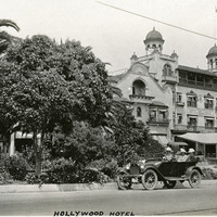
Caption: "Hollywood Hotel," c. 1915-1916. Façade of Hotel Hollywood, with automobile parked on street outside. The hotel, originally built in 1902 and expanded in 1905, served as a social venue for many of Hollywood's early film stars. It was torn down in 1956 to make way for an office building.
Date: 1915
-
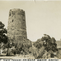
Caption: "Desert View Tower - Arizona Grand Canyon," c. 1935. The Desert View Watchtower, built in 1932, was designed by architect Mary Colter in the style of Ancestral Puebloan watchtowers.
Date: 1935
-
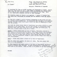
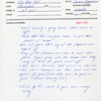
Office Memorandum from Margaret S. Watkins (by Kathryn M. Larmore) to Lois Craig regarding incarceration and denial of public assistance
Date: April 7, 1942
-
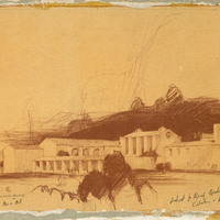
Caption: "Kitchen Commissary & Dining Rooms." California School for the Deaf at Berkeley; design and drawing by Alfred Eichler. Built like this, 1932. Project for Department of Education.
Date: 1930
-
Written statement arguing in opposition of AB2710
Date: February 22, 1982