

Bookmarks
Showing Bookmarks 1 to 15 of 15
-

-
-

-

-
-
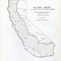
Map of California indicating boundaries for military areas prepared from Proclamation No. 1, issued by Lt. General John L. DeWitt to the California Highway Patrol
Date: Issued March 2, 1942
-

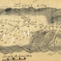
Hand-drawn sketch map of Laguna Seca or Refugio de la Laguna Seca or Laguna de Santa Teresa boundaries. Volume 1, page 220.
Date: 1834
-
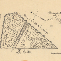
Hand-drawn sketch map of Mission Vieja de San Rafael boundaries. Volume 2, page 160.
Date: 1845
-

-
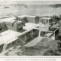
No Caption: Photograph of part of a print from the Illustrated London News, titled "A Modern Method of Coast Defense: The Arrangement of an Up-To-Date Battery." See also 96-07-08-alb05-094.
Date: 1910-09-03
-

-
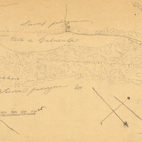
-
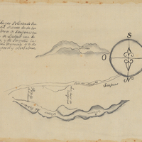
Hand-drawn Sketch map of Punta del Monte boundaries. Volume 1, page 164.
Date: 1834
-
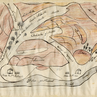
Hand-drawn sketch map of Land at Buenaventura boundaries. Volume 2, page 134.
Date: 1845
-
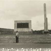
Caption: "Pan-American Highway monument marking the highway completion, July 1, 1936 Altitude 8209 feet. Highest point on route - 15 miles south of Octopan [sic], Mexico." Pictured is William McCarthy standing before the "Monument of Good Friendship (El Monumento de Buena Amistad), near Actopan, Mexico.
Date: 1938