

Bookmarks
Showing Bookmarks 1 to 25 of 29
-

Hand-drawn sketch map of Carrisalitos, or Panoche de San Juan y Carrisalitos, or Rancho de San Juan y Carrisalitos boundaries. Volume 2, page 42.
Date: 1844
-

Caption: "Transportation Busses [sic] - Boulder City to Boulder Dam," c. 1935, shows a line of double-decker buses used to transport workers from Boulder City to Boulder Dam.
Date: 1935
-
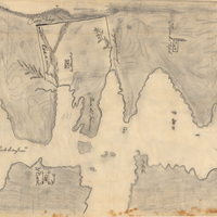
Hand-drawn sketch map of San Clemente or Tamalpais boundaries. Volume 2, page 122.
Date: 1845
-
-
-
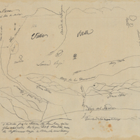
Hand-drawn sketch map of Valle de San Jose boundaries. Volume 1, page 280.
Date: 1826
-

-
-

Hand-drawn sktech map of San Geronimo boundaries. Volume 1, page 752.
Date: 1842
-

-
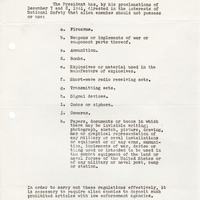
Notice from Frank J. Hennessy to All State and Local Police Authorities regarding prohibited articles to be confiscated from Japanese
Date: January 3, 1942
-
-

-
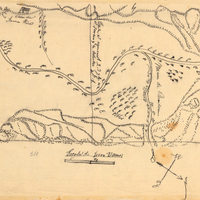
Hand-drawn sketch map of Rincon de Musulacon boundaries. Volume 2, page 173.
Date: 1846
-

-
-

-

-
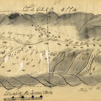
-
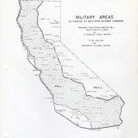
Map of California indicating boundaries for military areas prepared from Proclamation No. 1, issued by Lt. General John L. DeWitt to the California Highway Patrol
Date: Issued March 2, 1942
-

Hand-drawn sketch map of Laguna Seca or Refugio de la Laguna Seca or Laguna de Santa Teresa boundaries. Volume 1, page 220.
Date: 1834
-
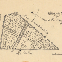
Hand-drawn sketch map of Mission Vieja de San Rafael boundaries. Volume 2, page 160.
Date: 1845
-

-
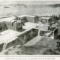
No Caption: Photograph of part of a print from the Illustrated London News, titled "A Modern Method of Coast Defense: The Arrangement of an Up-To-Date Battery." See also 96-07-08-alb05-094.
Date: 1910-09-03
-
