Search All Items
- Filters:
- Type
- Image 2673
- Still Image 417
- Text 261
- Text 19
- Language
- English 3086
- Spanish 287
- ENGLISH 3
- English 1
- census_013 1
Search Results 1331 to 1340 of 3397
-
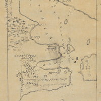
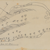
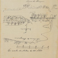
Hand-drawn sketch map of Carte de Madera del Presidio or San Clemente boundaries. Volume 1, page 56.
Date: 1834
-
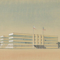
Preliminary design and drawing of state office building on N Street, Sacramento, by Alfred Eichler. Built to later design. Project for Department of Finance - Buildings and Grounds - Office Buildings.
Date: 1937
-
Hand-drawn sketch map of Rancho de Armijo boundaries. Volume 1, page 522.
Date: 1840
-
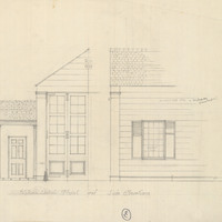
Caption: "Front and Side Elevations." Design and drawing of Hornbrook border inspection station by Alfred Eichler, c. 1931. Project for Department of Agriculture.
Date: 1931
-
Hand-drawn sketch map of Tinnacae or Tinaquaic or Tinacal boundaries. Volume1, page 706.
Date: 1840


