Search All Items
- Filters:
- Language
- English 7958
- Spanish 495
- ENGLISH 4
- English 2
- census_013 1
- contra_costa_schedule_1_volume_1 1
- Type
- Still Image 4047
- Image 3895
- Text 451
- Text 54
- Textual 2
- Image of the California Census from the records of the office of the California Secretary of State 1
Search Results 161 to 170 of 8628
-
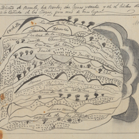
Hand-drawn sketch map of Cañada del Corral boundaries. Volume 1, page 692.
Date: 1840
-
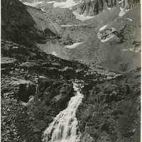
Caption: "Sierra Summit Scene - Tioga Pass," c. 1917. Patches of snow litter the walls of Tioga Pass, while a small stream cascades down the hillside. California State Route 120 runs through the pass, providing an eastern entry into Yosemite National Park.
Date: 1917
-
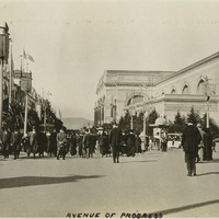
Caption: "Avenue of Progress," at the Panama-Pacific International Exposition. See also 96-07-08-alb01-080.
Date: 1915
-
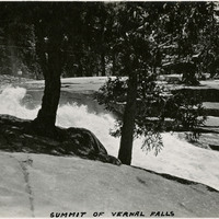
Caption: "Summit of Vernal Falls," c. 1917. The Merced River begins its cascade over Vernal Fall in this photograph.
Date: 1917
-
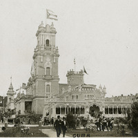
Caption: "Cuba," shows the Cuban Pavilion at the Pacific International Exposition. See also 96-07-08-alb01-136.
Date: 1915
-
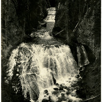
Caption: "Cascades - Yellowstone," c. 1923. View of Kepler Cascades, a waterfall on the Firehole River in Yellowstone National Park.
Date: 1923