Search All Items
- Filters:
- Type
- Image 2673
- Still Image 417
- Text 261
- Text 19
- Language
- English 3086
- Spanish 287
- ENGLISH 3
- English 1
- census_013 1
Search Results 11 to 20 of 3402
-
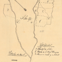
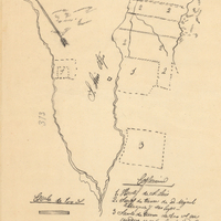
Hand-drawn sketch map of Campo de los Franceses boundaries. Volume 2, page 33.
Date: 1843
-
Hand-drawn sketch map of Land- Mission San Luis Obispo boundaries. Volume 2, page 190.
Date: 1843
-
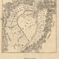
Hand-drawn sketch map of Corral del Cuate boundaries. Volume 2, page 148.
Date: 1845
-
Hand-drawn sketch map of Land at San Luis Obispo boundaries. Volume 2, page 65.
Date: 1843
-
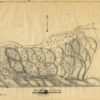
Hand-drawn sketch map of Lomas de la Purification boundaries. Volume 2, page 91.
Date: 1845
-
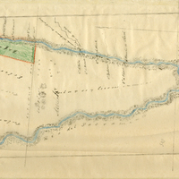
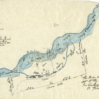
Hand-drawn sketch map of Paso del Pescadero boundaries. Volume 2, page 63.
Date: 1843