Search All Items
- Filters:
- Language
- English 7958
- Spanish 495
- ENGLISH 4
- English 2
- census_013 1
- contra_costa_schedule_1_volume_1 1
- Type
- Still Image 4047
- Image 3895
- Text 451
- Text 54
- Textual 2
- Image of the California Census from the records of the office of the California Secretary of State 1
Search Results 7061 to 7070 of 8628
-
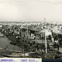
Caption: "CORONADO. TENT CITY.," c. 1910. View of rows of tents and sheds thatched in palm fronds along the coast near Coronado Hotel, with people strolling along the roadways. Established in 1900 for travelers who could not afford to stay in the resort hotel, the Coronado Tent City consisted of a grid of streets lined with furnished tents, near the sea shore. It also featured restaurants, a library, soda fountain, theater, bandstand, and other recreational facilities. See also 96-07-08-alb05-202 and 96-07-08-alb08-263.
Date: 1910
-
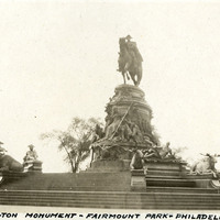
Caption: "Washington Monument - Fairmount Park - Philadelphia," c. 1925. Philadelphia's Washington Monument Fountain (Rudolf Siemering, sculptor) features a bronze and granite statute of George Washington on horseback. Dedicated at Fairmount Park in 1897, it was moved to Philadelphia's Eakins Oval in 1928.
Date: 1925
-
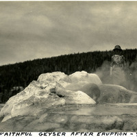
Caption: "Old Faithful Geyser After Eruption - Yellowstone," c. 1923. Grace McCarthy stands behind the vent of Old Faithful, a cone geyser at Yellowstone National Park.
Date: 1923
-
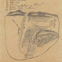
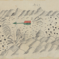
Hand-drawn sketch map of Quien Sabe boundaries. Volume 1, page 286.
Date: 1839
-
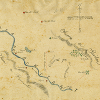
Hand-drawn sketch map of Buena Esperanza boundaries. Volume 1, page 206.
Date: 1833
-
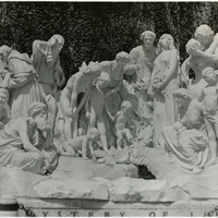
No Caption: A large marble sculpture, The Mystery of Life (Ernesto Gazzeri, sculptor), on the grounds of Forest Lawn Memorial Park in Glendale, Los Angeles, c. 1935.
Date: 1935
-
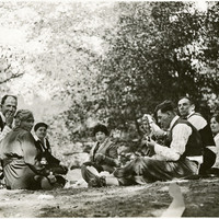
No caption, c. 1915-1920. Several people (including William and Grace McCarthy at the far left) picnicking at an unidentified location.
Date: 1920
-
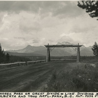
Caption: "Kicking Horse Pass or Great Divide - Line dividing Banff Natl. Park, Alberta and Yoho Natl. Park, B.C.. Alt. 5332 FT. July," c. 1935.
Date: 1935
-
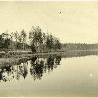
No Caption: See also 96-07-08-alb08-021 with caption: "Fort Casey Lake, Reflections." Landscape at Crockett Lake, near Fort Casey, c. 1908.
Date: 1908