Search All Items
- Filters:
- Language
- English 1955
- Spanish 54
- ENGLISH 2
- English 1
- census_013 1
- Type
- Image 1691
- Still Image 157
- Text 137
- Text 22
- Textual 2
Search Results 211 to 220 of 2026
-
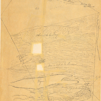
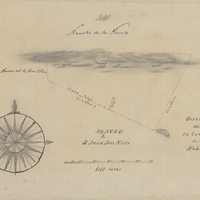
Hand-drawn sketch map of Punta de la Laguna boundaries. Volume 2, page 92.
Date: 1843
-
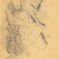
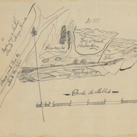
Hand-drawn sketch map of Cañada de los Osos y Pecho y Islae boundaries. Volume 2, page 11.
Date: 1842
-
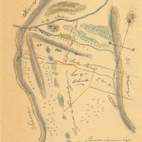
Hand-drawn sketch map of Llano de Santa Rosa boundaries. Volume 2, page 56.
Date: 1843
-
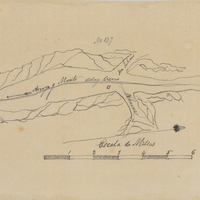
Hand-drawn sketch map of Cañada de Habra boundaries. Volume 1, page 482.
Date: 1839
-
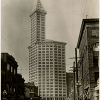
No Caption: The Smith Tower, named after it builder, industrialist and typewriter magnate, Lyman Cornelius Smith, opened in 1914. At 38 floors, the Smith Tower was the first skyscraper in Seattle and the tallest building west of the Mississippi River, c. 1935.
Date: 1935
-
Hand-drawn sketch map of Santa Manuela boundaries. Volume 1, page 258.
Date: 1837
-
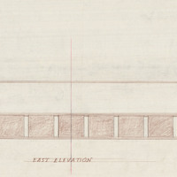
Caption: "East Elevation." Final drawing of east elevation, Mess Hall, Veterans Home, Yountville; design and drawing by Alfred Eichler. Project for Department of Veterans Affairs.
Date: 1942