Search All Items
- Filters:
- Language
- English 7958
- Spanish 495
- ENGLISH 4
- English 2
- census_013 1
- contra_costa_schedule_1_volume_1 1
- Type
- Still Image 4047
- Image 3895
- Text 451
- Text 54
- Textual 2
- Image of the California Census from the records of the office of the California Secretary of State 1
Search Results 2871 to 2880 of 8628
-
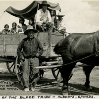
Caption: "Indians of the Blood Tribe - Alberta, Canada. The Grandfather, and his son, with six children and wife," c. 1935, shows the Blood Indian family riding in a horse-drawn wagon.
Date: 1935
-
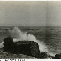
Caption: "Ver De Leu [sic], Santa Cruz," c. 1910. Ocean shore scene with rocks, waves, and high spray. The Vue de L'eau (View of the Water) was a station on the Santa Cruz, Garfield Park and Capitola Electric Railway electric streetcar line. The station, built in 1891, was located at the very end of the line, on a promontory overlooking the Pacific Ocean. It featured an observatory on the top story. The same company also built a casino, ballroom, and restaurant nearby. The station burned down in 1925.
Date: 1910
-
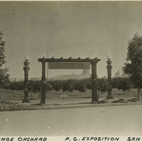
Caption: "Model Orange Orchard P.C. Exposition, San Diego, Cal."
Date: 1915
-
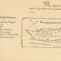
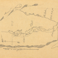
Hand-drawn sketch map of Cañada de San Miguelito or Cañada del Diablo boundaries. Volume 2, page 167.
Date: 1845
-
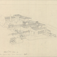
Caption: "Home Economics Bldg. Santa Barbara. Built." Design and drawing of Home Economics Building, Riviera Campus, Santa Barbara State College, by Alfred Eichler. Built in 1929. Project for Department of Education.
Date: 1927-1928
-
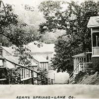
Caption: "Adams Springs -- Lake Co.," c. 1920. Buildings in Adams Springs, likely part of the resort that operated there in the first half of the twentieth century.
Date: 1920
-
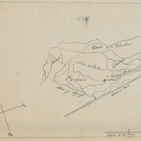
Hand-drawn sketch map of Jimeno, or Salsipuedes, or Santa Paula y Saticoy boundaries. Volume 2, page 97.
Date: 1844
-
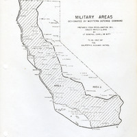
Map of California indicating boundaries for military areas prepared from Proclamation No. 1, issued by Lt. General John L. DeWitt to the California Highway Patrol
Date: Issued March 2, 1942
-
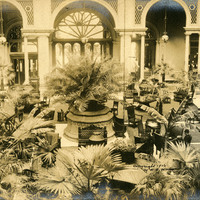
Caption: "Palace Hotel Court," c. 1906. (Handwritten on photograph: "copyright 1906 by W.E Worden."). The Palace Hotel was originally built in 1875, rebuilt in 1909, and was one of the first premier luxury hotels in San Francisco.
Date: 1906