Search All Items
- Filters:
- Language
- English 7958
- Spanish 495
- ENGLISH 4
- English 2
- census_013 1
- contra_costa_schedule_1_volume_1 1
- Type
- Still Image 4047
- Image 3895
- Text 451
- Text 54
- Textual 2
- Image of the California Census from the records of the office of the California Secretary of State 1
Search Results 3501 to 3510 of 8628
-
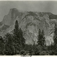
Caption: "Yosemite," c. 1917. Yosemite's iconic Half Dome, a granite rock formation, as seen from the valley floor.
Date: 1917
-
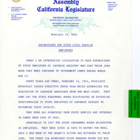
Press Conference Statement by Patrick Johnston on introduction on legislation
Date: February 19, 1982
-
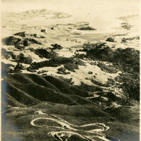
Caption: "Double Bow Knot Mt Tamalpais," c. 1907. A bird's eye view of the twisty road up Mount Tamalpais in Marin County.
Date: 1907
-
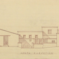
Caption: "North Elevation." Final drawing of north elevation, Mess Hall, Veterans Home, Yountville; design and drawing by Alfred Eichler. Project for Department of Veterans Affairs.
Date: 1942
-
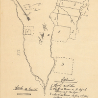
Hand-drawn sketch map of Land at San Luis Obispo boundaries. Volume 2, page 65.
Date: 1843
-
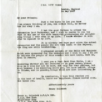
No caption. Letter from Henry Golombeck of the U.S. Navy to William and Grace McCarthy, on the letterhead of the USS New York, dated May 14, 1937, and sent from London England.
Date: 5/14/1937
-
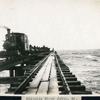
Caption: "Columbia River Jetty, Or.," c. 1910. View of a jetty built at the mouth of the Columbia River, carrying a railroad trestle. A train hauling cars loaded with large rocks is visible at the left side of the photograph. This is likely the so-called South Jetty, extending more than six miles into the ocean from Point Adams on the Oregon side of the river mouth. The jetty system at the mouth of the Columbia River was constructed between 1885 and 1917. Designed to funnel water from the Columbia River in a more concentrated fashion into the Pacific Ocean, the jetty system helped create a deeper, more stable shipping channel.
Date: 1910
-
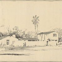
Design and drawing of unidentified building by Alfred Eichler. Project for Department of Mental Hygiene - Hospitals.
Date: 1927
-
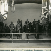
Caption: "Government exhibits of clothing, Government Building." This exhibit demonstrates a variety of military uniforms, displayed on mannequins. It was located in the Government Building of the Lewis and Clark Centennial Exposition, held in Portland, Oregon from June 1st to October 15th, 1905. It celebrated the one-hundred year anniversary of the exploratory expedition of the Louisiana Purchase and what became the northwestern part of the United States, led by Meriwether Lewis and William Clark. Some 1.6 million people visited the fair, viewing exhibits from twenty-one countries.
Date: 1905
-
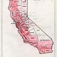
Map of California indicating the boundaries of the military zones
Date: Undated