Search All Items
- Filters:
- Language
- English 7958
- Spanish 495
- ENGLISH 4
- English 2
- census_013 1
- contra_costa_schedule_1_volume_1 1
- Type
- Still Image 4047
- Image 3895
- Text 451
- Text 54
- Textual 2
- Image of the California Census from the records of the office of the California Secretary of State 1
Search Results 7681 to 7690 of 8628
-
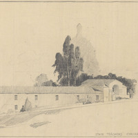
Caption: "State Teachers' College San Francisco." Drawing of Science Building, Downtown Campus, San Francisco State College. Design and drawing by Alfred Eichler. Built. Project for Department of Education.
Date: 1925
-
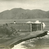
Caption: "Fort Point," c. 1910. This postcard shows a view of Fort Point, at the entrance to San Francisco Bay. The facilities at Fort Point were part of an effort by the U.S. government to protect the Golden Gate, entrance to the San Francisco Bay. Built between 1853-1861, the fort included emplacements for 141 guns but never fired a weapon in defense of the Bay. Its name was officially changed in 1882 to Fort Winfield Scott, but in 1886 the fort was officially downgraded to a sub-post of the San Francisco Presidio and the name discontinued. It was resurrected in 1912, with the establishment of a coastal artillery fortification at the Presidio, called, once again, Fort Winfield Scott.
Date: 1910
-
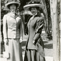
No caption, c. 1915. Grace McCarthy and an unidentified woman posing in garden.
Date: 1915
-
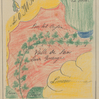
Hand-drawn sketch map of Valle de San Luis Gonzaga boundaries. Volume 1, page 652.
Date: 1840
-
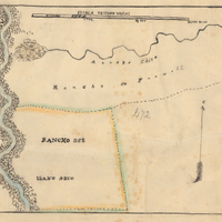
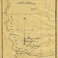
Hand-drawn sketch map of Rancho del Paso boundaries. Volume 2, page 85.
Date: 1844
-
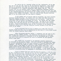
Summary of meeting which discussed the housing shortage and lack of employment opportunities as well as the possibility of extending time resettlers may receive aid
Date: 23-Jan-46
-
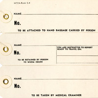
Tags "to be attached to hand baggage carried by person, to be retained by person to whom issued, and to be taken by medical examiner"
Date: Undated
-
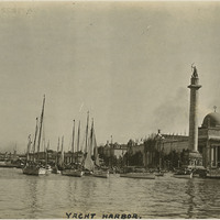
Caption: "Yacht Harbor," on the San Francisco Bay outside the Panama-Pacific International Exposition. See also 96-07-08-alb01-075.
Date: 1915