Search All Items
- Filters:
- Type
- Image 2673
- Still Image 417
- Text 261
- Text 19
- Language
- English 3086
- Spanish 287
- ENGLISH 3
- English 1
- census_013 1
Search Results 161 to 170 of 3402
-
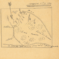
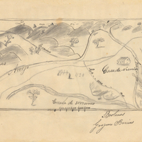
Hand-drawn sketch map of Nacion or Rancho Nacional boundaries. Volume 2, page 153.
Date: 1843
-
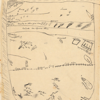
Han-drawn sketch map of Valle de San Rafael boundaries. Volume 2, page 154.
Date: 1845
-
Hand-drawn sketch map of Nietos Addition boundaries. Volume 2, page 205.
Date: 1846
-
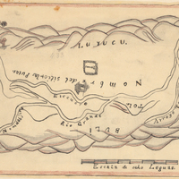
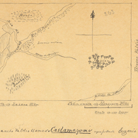
Hand-drawn sketch map of Caslamayomi or Laguna de los Gentiles boundaries. Volume 2, page 57.
Date: 1844
-
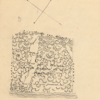
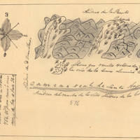
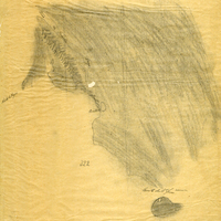
Hand-drawn sketch map of Punta de los Reyes boundaries. Volume 2, page 16.
Date: 1841
-
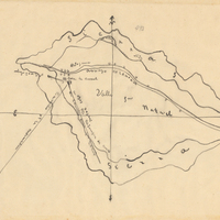
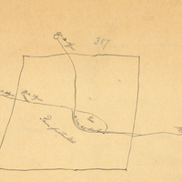
Hand-drawn sketch map of Tres Ojos de Agua boundaries. Volume 2, page 48.
Date: 1843